Advisory: Wildfire - Parts of Alberta
Issued May 19, 2019 at 01:05 PM
Source: Alberta Emergency Management Agency on behalf of Town Of High Level
Issued: May 19, 2019 at 01:05 PM
History:
-
- Alert: May 19, 2019 at 01:05 PM
- Update: May 19, 2019 at 02:26 PM
- Update: May 19, 2019 at 08:25 PM
- Update: May 20, 2019 at 10:27 AM
- Update: May 20, 2019 at 11:49 AM
- Update: May 20, 2019 at 01:23 PM
- Update: May 20, 2019 at 04:50 PM
- Update: May 22, 2019 at 12:22 PM
- Cancel: May 24, 2019 at 09:41 AM
Description: Alberta Emergency Alert - Wildfire Alert
There is a wildfire South of the Town of High Level, west of Highway 35 and South of Highway 58 and is heading Northwest.
Smoke from the Wildfire is visible from the town, but neither the Town of High Level or Norbord Plant are under immediate threat at this time. There is no Evacuation Alert in effect at this time, but residents are advised to remain vigilant.
Area: Mackenzie #23
Affected areas (15):
- Beaver Ranch 163
- Boyer 164
- Bushe River 207
- Carcajou 187
- Child Lake 164A
- Fort Vermillion 173B
- Fox Lake 162
- Hay Lake 209
- High Level
- John d'Or Prairie 215
- Mackenzie No. 23
- Rainbow Lake
- Tall Cree 173
- Tall Cree 173A
- Upper Hay River 212
Action to take:
- Residents should stay aware of the evolving situation, by visiting www.facebook.com/TownofHighLevel the Town of High Level Facebook Page
- No Evacuation Alert is in place at this time, but residents should remain vigilant and review their family emergency procedures
- If Evacuation is required, Highway 88 would be a safe route from the hazard area
- Go to www.511.alberta.ca for up to date Road Report information
Additional information:
![]()
Map
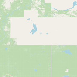
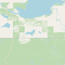
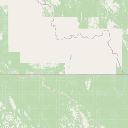
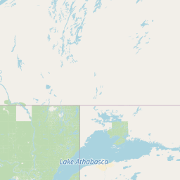
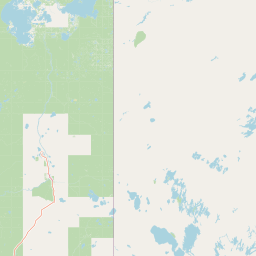
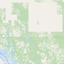
Leaflet | © OpenStreetMap contributors
Legend
Critical
Take action now
Advisory
Prepare to take action
Test alert
System testing in progress
Download the app